 In Development
Geospatial Analytics / Sustainability
Solar Waste Forecasting Dashboard
An interactive spatial platform exploring photovoltaic installation trends and potential future solar panel waste patterns.
Digital Experiences
A collection of portfolio explorations into how geographic information can be experienced on the web. These concepts connect cartographic thinking with interface design and spatial analysis.
Spatial datasets can be rich in detail yet difficult to navigate. The design challenge is to make geographic relationships legible while keeping the experience approachable and the underlying context clear.
The explorations consider map layers, spatial queries, visual hierarchy and responsive interfaces. Each concept is an opportunity to investigate how interaction and cartography can work together. They are portfolio studies, with no client outcomes or production releases claimed.
In DevelopmentGeospatial Analytics / Sustainability
An interactive spatial platform exploring photovoltaic installation trends and potential future solar panel waste patterns.
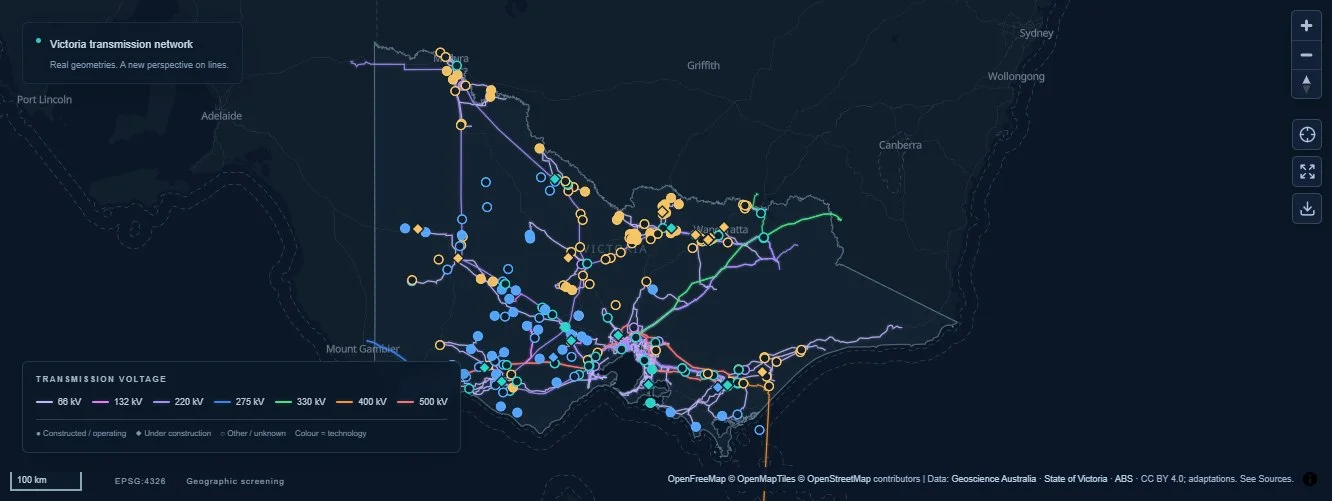 Live infrastructure explorer
Energy / Spatial analysis
An interactive dashboard exploring Victoria’s electricity network, renewable energy and battery storage sites through spatial proximity analysis.