 In Development
Geospatial Analytics / Sustainability
Solar Waste Forecasting Dashboard
An interactive spatial platform exploring photovoltaic installation trends and potential future solar panel waste patterns.
Projects
A selection of digital tools, interactive maps and ongoing explorations.
In DevelopmentGeospatial Analytics / Sustainability
An interactive spatial platform exploring photovoltaic installation trends and potential future solar panel waste patterns.
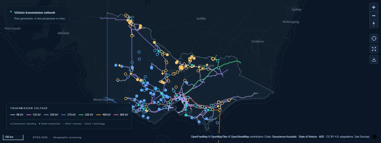 Live infrastructure explorer
Energy / Spatial analysis
An interactive dashboard exploring Victoria’s electricity network, renewable energy and battery storage sites through spatial proximity analysis.
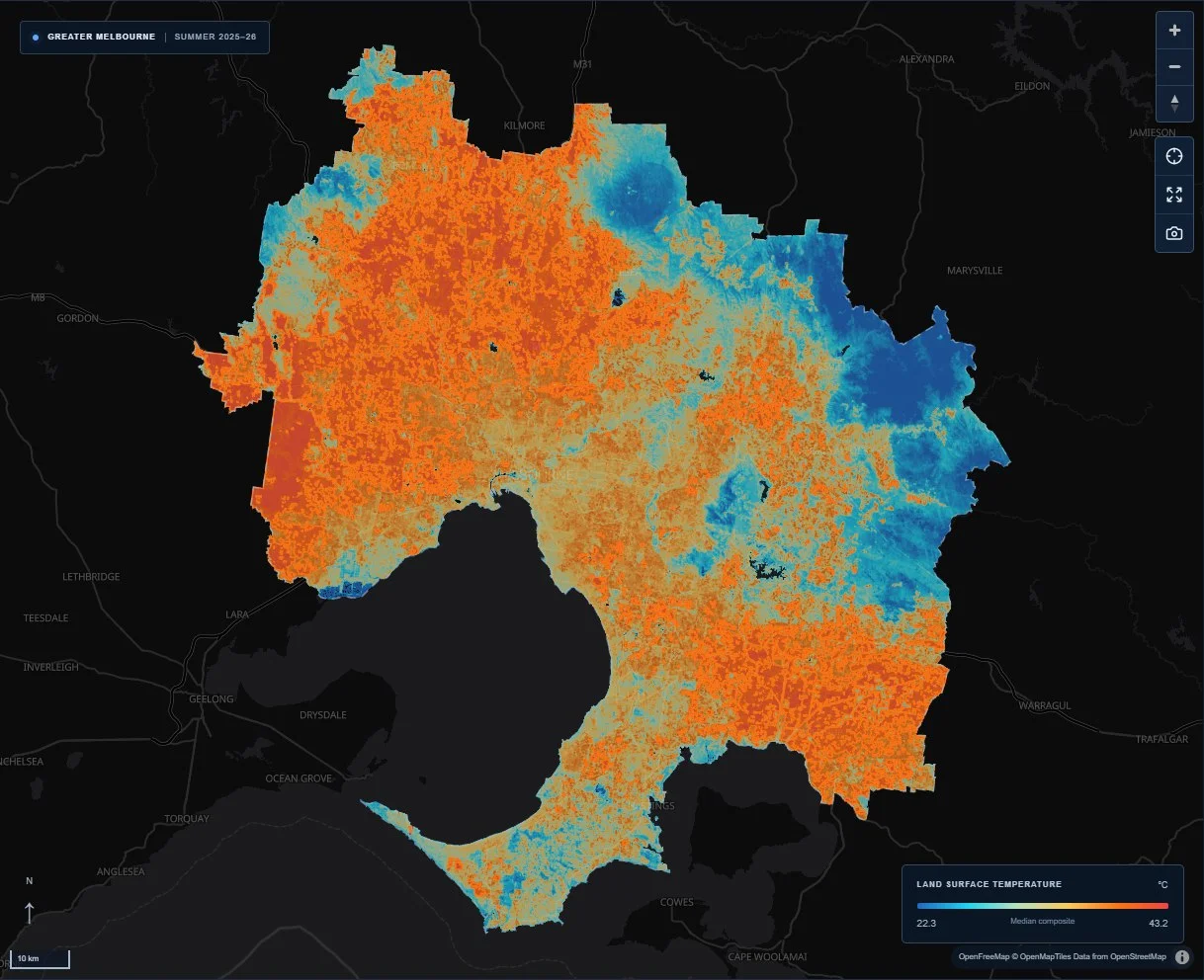 Live satellite data explorer
Remote sensing / Urban climate
A satellite-based Web GIS exploring surface heat clusters, cool zones and urban greenery across Greater Melbourne.
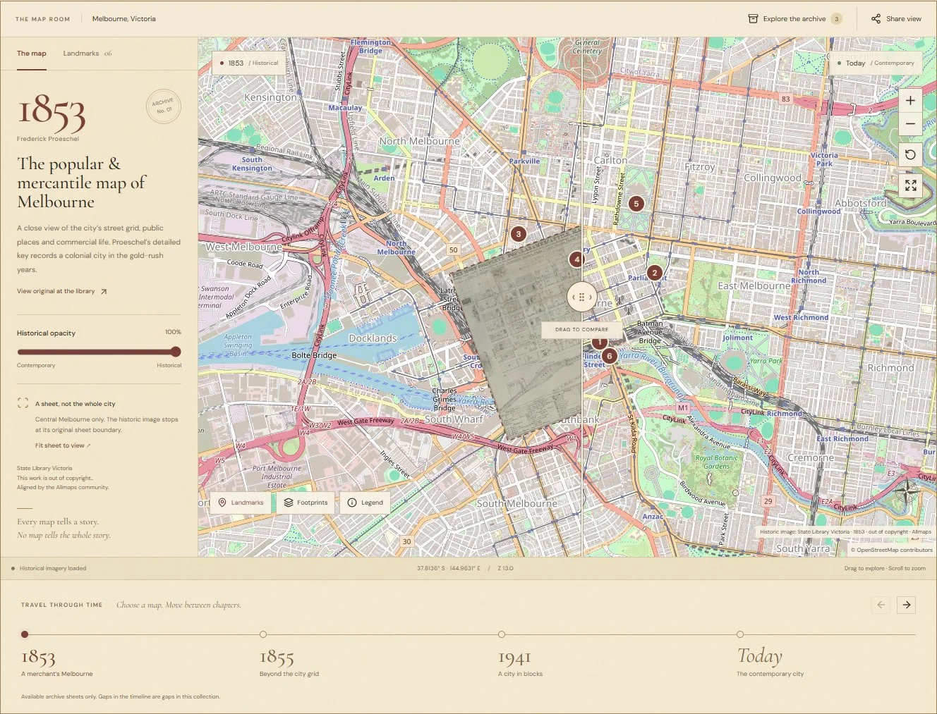 Live interactive atlas
Cartography / Interactive atlas
An interactive atlas comparing historical Melbourne maps with the city today, using a sliding map comparison and archival timeline.
Open questions, creative studies and work in progress.
Digital Experiences
Web-based mapping and spatial analysis concepts that make complex geographic information more accessible.
Explore concept →Remote sensing / Urban systems
Exploring how Melbourne has expanded through historical satellite imagery, spatial change detection and exploratory growth scenarios.
A research direction for comparing historical urban footprints and considering possible growth scenarios. No forecast or completed application is available.
Cartography / Spatial storytelling
Creative cartography experiments exploring geographic patterns, spatial storytelling and digital mapping techniques.
A space for creative mapping studies, visual experiments and evolving cartographic ideas.
Applied AI / Workflow design
Exploring how artificial intelligence and automation can support geospatial analysis and digital workflows.
An exploratory research thread focused on potential workflow applications, with human review and method evaluation at the centre.